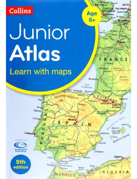
Collins Junior Atlas

-
57.10 €
-+
Обязательный атлас "Назад в школу" для 6-го класса.
Полностью переработанный и обновленный, это идеальный справочный атлас мира для юных географов начальной школы в возрасте 8-11 лет (ключевой этап 2).
- Атлас разделен на разделы, охватывающие Великобританию, Европу, мир и континенты, с более подробными крупномасштабными картами стран и регионов.
- Она включает в себя такие темы, как климат, население, миграция, торговля и экологические проблемы, такие как глобальное потепление.
- Топографическое картографирование помогает молодому географу понять процессы, которые происходят при формировании ландшафтов земли.
- Справочное картографирование разработано для максимальной ясности и доступности и подкреплено фотографиями и блоками данных, с подробными ключами к карте и информацией о масштабе на каждой карте.
- Таблицы с ключевыми данными по странам мира.
Издание на английском языке.
The must-have Back to School Atlas for Year 6
Fully revised and updated, this is an ideal world reference atlas for young primary school geographers aged 8-11 years (Key stage 2). Published in association with the Geographical Association, it enables children to learn about the world today and understand how maps and atlases work.
- The atlas is organised into sections covering the UK, Europe, the world and continents with more detailed larger scale maps of countries and regions popular for focus studies.
- It includes topics such as climate, population, migration, trade and environmental issues, such as global warming.
- Topographical based mapping helps the young geographer understand the processes which take place during the formation of the earth's landscapes.
- The reference mapping is designed for maximum clarity and accessibility, and is supported by photographs and data boxes, with detailed map keys and scale information on each map.
- Specially selected topic maps give additional information linking to knowledge and understanding of distant places.
- Tables of key world country data include an Ecological Footprint figure for each country.
12.79 €
Беспокойный хвостик
48.91 €
7 и 37 чудес
17.73 €
Зоопарк доктора Менгеле
14.78 €
Младший брат
8.92 €
До самых кончиков
29.86 €
Неразумная обезьяна
5.48 €
Поэмы и стихи
33.55 €


